Ainapo Trail to Mauna Loa Summit Cabin Full Recap December 2024
24.7 miles round trip (plus some bonus mileage)
5,650 ft to 13,200 = 7,550ft elevation gained and lost
Training for https://www.legendexpd.com.au/
Full Adventure Race Team: https://www.ohanamartialarts.org/adventure-racing-team
Teammates on this adventure:
Tara Brown age 43
Soyer Hobbeheydar age 17
Iphone photo credit to both Tara and Soyer
Moku‘āweoweo Caldera from Summit Cabin with Mauna Kea in the background.
Mauna Loa from Saddle Rd
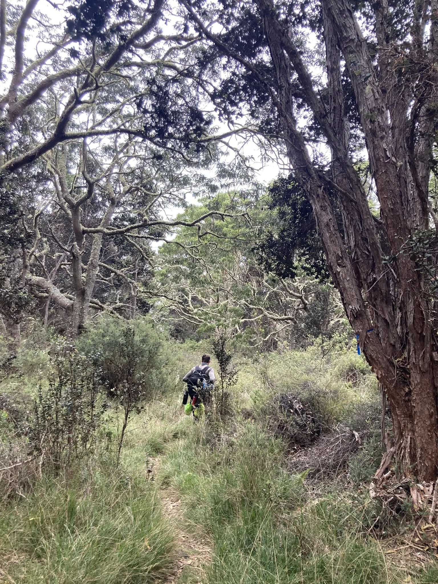
December 7th 2024 we set off from the Ainapo Trailhead at 5,650' a little late. We had left Kona before noon, but got to Captain Cook and I had a realization that my hiking boots were not in the truck!! We turned around back to grab them, then took Saddle instead and arrived at the Hawaii Volcano National Park back country office around 3:15pm. They asked few questions, printed our permit and we were on our way. The trial head is several miles up a 4x4 road through a ranch and forest reserve land. After putting the gate code in, it took another hour of driving at a brisk speed in the Tacoma to get to the trail head. It was beautiful thin forest full of guava, koa, eucalyptus, ohia and a bunch of bulls.
Held tightly onto the truck to not hit my head over the rocky rough roac! At roughly 5pm we arrived at the trailhead parking with one other vehicle and put our backpacks on for the 3 mile trek up to the Ainapo Halawai Cabin.
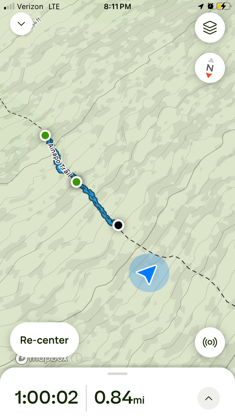
None of the maps or markers seem to have the correct mileage on them - not even the really nice national geographic national park map. Our GPS data at completion and staying on the trail exactly says 3.25 miles from trailhead to the Ainapo Halawai Cabin and 9.1 from the Ainapo Halawai Cabin to the Summit Cabin. (most maps including the national park and division of forestry say 2.7 to Halawai and another 7.5 to summit cabin - which is not accurate) The least accurate thing to follow is GPS trails on Google, AllTrails and Hiiker Apps - they are all fairly close to the trail but not nearly on it. You can see an example to the left of the blue line trail and the marked trail from AllTrails.
Data from time we started GPS Alltrails until phone died. Blue triangle is the cabin.
Sunset and loosing the Trail to Halawai Cabin
The first 40 minutes of hiking as easy and beautiful. We knew our timing would leave us hiking in the dark - but we decided compared to our last night hike through a snow storm and wild animals, this would not be so bad and we had downloaded the Hiiker and AllTrails maps to our phones. About 15 minutes after we put our headlamps on we lost the next cairn/blue tape in the trees and pulled out the phone for navigation. For the next hour or so we bush whacked up the ohia forest, ended up on raw a’a a couple times, I only fell one time. We stayed glued to our gps map which said we were on the trail (come to find out later we were about 50-100 feet west of the actual really nice and well marked trail). I decided that stepping on some branches would work and I easily cleared them and then Soyer stepped right through them laughing that it worked for me! About the only advantage I have being 40 pounds smaller!! I turned and said, but when I open and close my hands 3 times they don’t warm up - a good brag he has on me and my freezing hands!! Another good quote from the night was when I asked if he wanted to navigate for a while, he told me ‘you’re the adult - I’ll let you!’ Then my phone battery died and he took over navigation. We stayed on the not trail, found old copper lines heading to the cabin which increased our mindset that we were both close and near the cabin. Somehow although the trail was marked in the wrong place, the GPS did take us right to the cabin! We walked up and knocked as there were already people staying in it. I thought when we reserved it, we’d be the only ones staying there for the night, but they must rent all 6 beds out separately. Two visitors from Germany were good companions for the night talking travel, Hawaii and they even offered to take our trash and let me borrow a USB-c charger for my headlamp. We cooked up our ramen and thawed steak from the Christmas party the weekend before. It was delicious! We’ve been doing most of our training trips without a cook stove, but I have decided that high elevation we need it for safety/survival and so we will eat better too! After cleaning up and Soyer filling our waters from the catchment and filter we brought - everyone headed to bed by 8:30pm.
NIght and Early Morning BeFore Summit Hike
I do not retain heat very well and my hands and feet are almost always cold, even here in Hawaii at sea level. It was probably in the 50s in the cabin and I brought a new zero degree bag. I pulled out 2 small and one large external heat packs. Small ones went in my socks and i used the large one in my hands through out the night. I fully cinched my sleeping bag down until only a breathing hole remained. I was still a little cold for a couple hours and then I woke frequently to turn with sore hips and to find the breathing hole when it got to stuffy and I freaked myself out about re-breathing. All in all it was not a horrible night sleep, but not exactly amazing. Soyer reported he slept okay, but also woke up pretty frequently dreaming about catching pigs! The mats were not super thin but definitely not super cushy either.
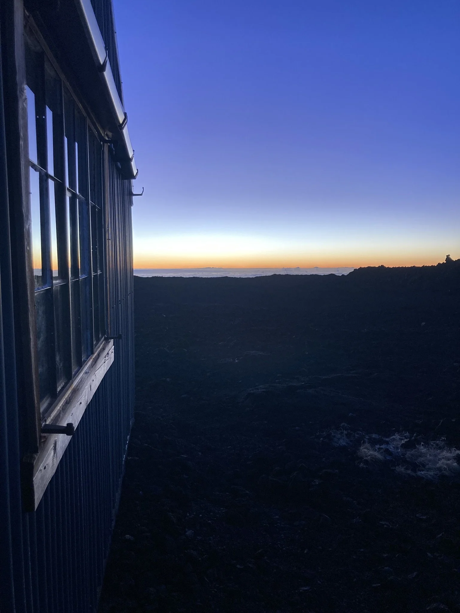
The gal from Germany wanted to capture the sunrise, so the first alarm went off at 5:30am. We crawled out of the bunks around 6am and took an hour to pack up, eat, top off water and such. First light was at 6:20, sunrise at 6:45 and then we started trying to find the trail at 7am.
When we arrived in the dark the night before we had come from the west. The Alltrails and Hiiker maps show the cabin off to the east of the trail and on a different short trail. None of this is true. Our first guess was to head down hill a little ways to get to the summit trail Y - which doesn’t exist. After a few minutes of going downhill I grumbled about going down as I knew every step down we were going to have to go back up, however my plan of heading west to meet the trail would not have worked either, as that doesn’t exist. After loosing probably 2-300 ft elevation and .7-1 mile we went back up to the Halawai cabin to try again. We pulled the National geographic real map out and it interestingly showed the cabin on the west of the trail and only one trail, no shoot offs. Without a pack Soyer went to see if there was a trail continuing up from the cabin with cairns and blue tape in the trees…. and there was! So grateful, we knew it was 100% worth the time to get on the real trail, as the a’a above is impassible if not on trail. Due to the terrain at this elevation, many places kinda look like a trail, but are not. THE REAL and ONLY AINAPO TRAIL HAS CAIRNS, BLUE TAPE, YELLOW PAINT and BURRITOS (rocks wrapped in Aluminum foil) EVERY 30-50 FEET.
AINAPO TRAIL HALAwai Cabin to Summit Cabin
All maps showed the next section to be 7.5-8.1 miles and every account I found said it would take us about 1 hour for every mile. We started at 7:15 and figured it would be around 3pm if everything went right before we were at the summit cabin. Honestly I just kinda focused on one foot in front of the other and we took breaks as we needed to and to keep fueling. Once out of tree line the trail went straight to A’a. On A’a there is only one place you can be, on the trail. The terrain anywhere off the 3ft trail is treacherous and not really passable. I had run my phone battery out using gps maps the night before and discovered that my worthless solar charger was out of juice instantly. So on the way up, I only turned my phone on to take a picture that I then texted my husband with our current elevation when we took breaks. Soyer had more battery but we knew we need to conserve a bit so we would always have enough battery to call out in an emergency. We didn’t run any tracking navigation on the way up but did check our location at breaks. I had an altimeter watch that was about 4-500 ft off consistently so we could use it to check elevation whenever we wanted.
Start of A’a around 8,000ft
9,250 ft - still feeling pretty good
10,500 ft Probably about 3 or 4 miles above Halawai Cabin
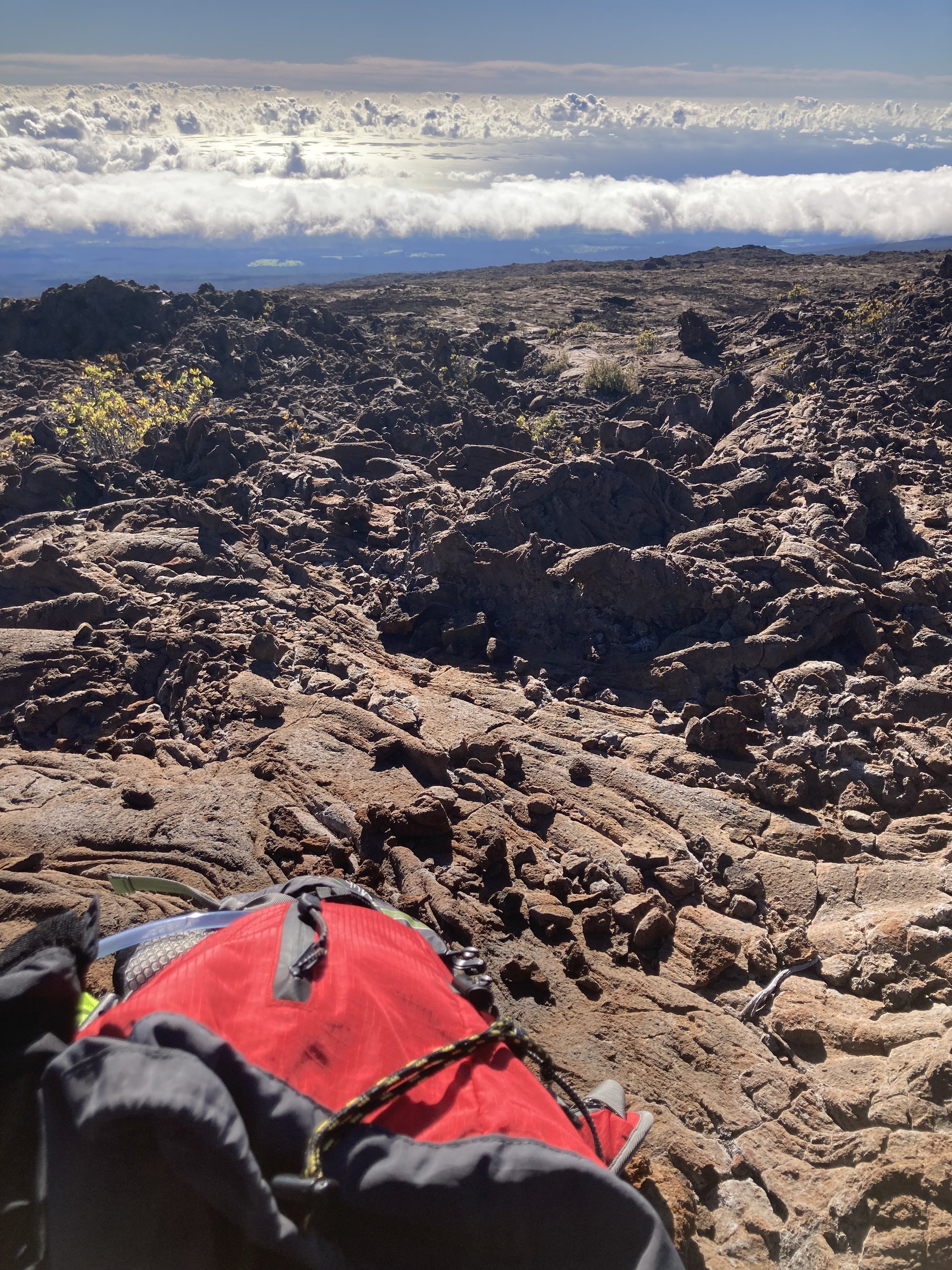
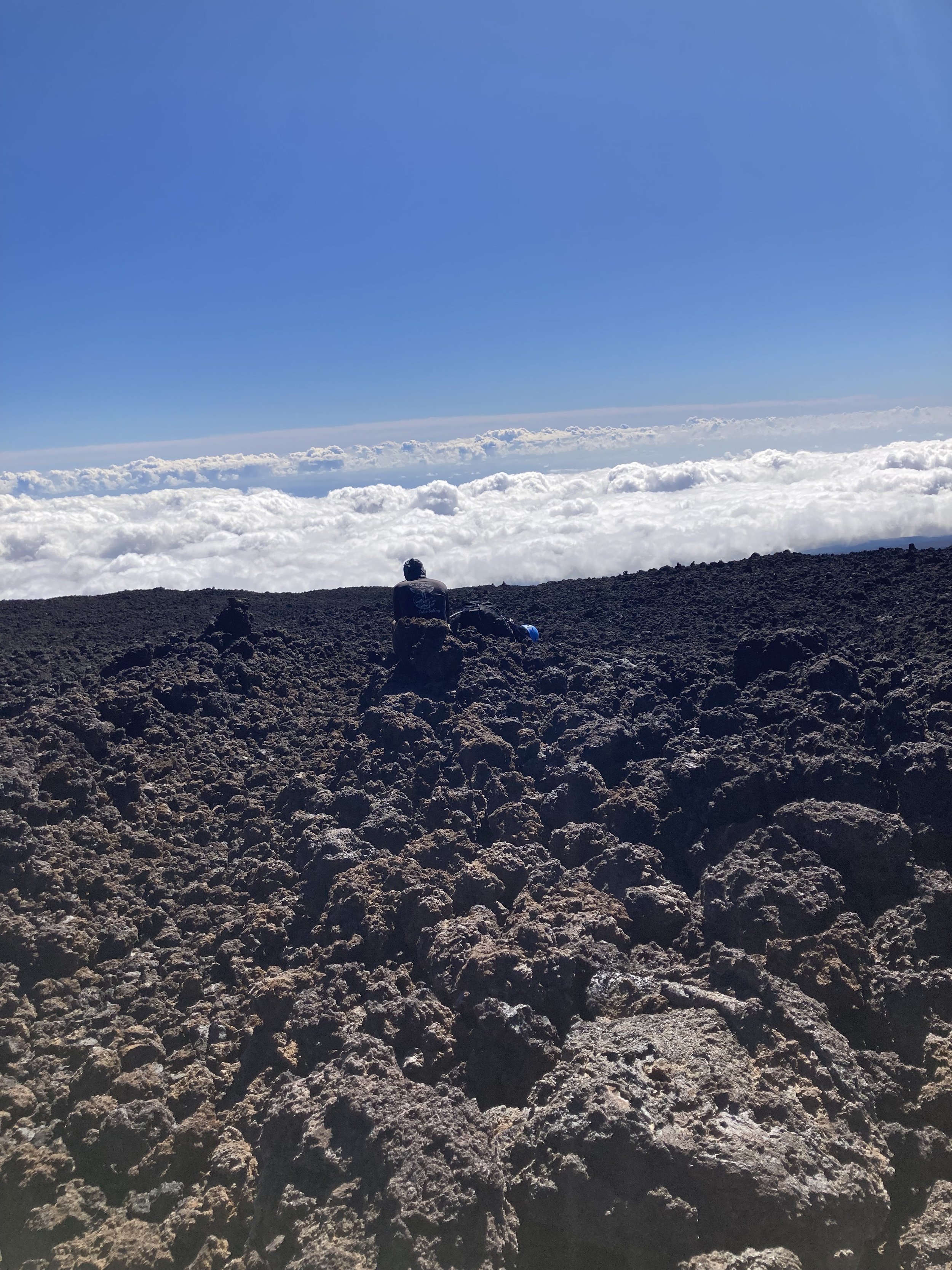
The first section out of tree line was about a mile and 800 ft elevation gain on A’a. We decided to wear gloves on all the A’a sections, as the risk of falling on the rolling balls of lava glass are just too high. The hours kind of rolled on by, Soyer would get 1/4 mile ahead and stop, then when I caught up we would take a break. After two large sections of A’a and mixed pahoehoe and crumbling pahoehoe we made it to the National Park Sign.
10,700 ft after the second brutal A’a field of about a mile
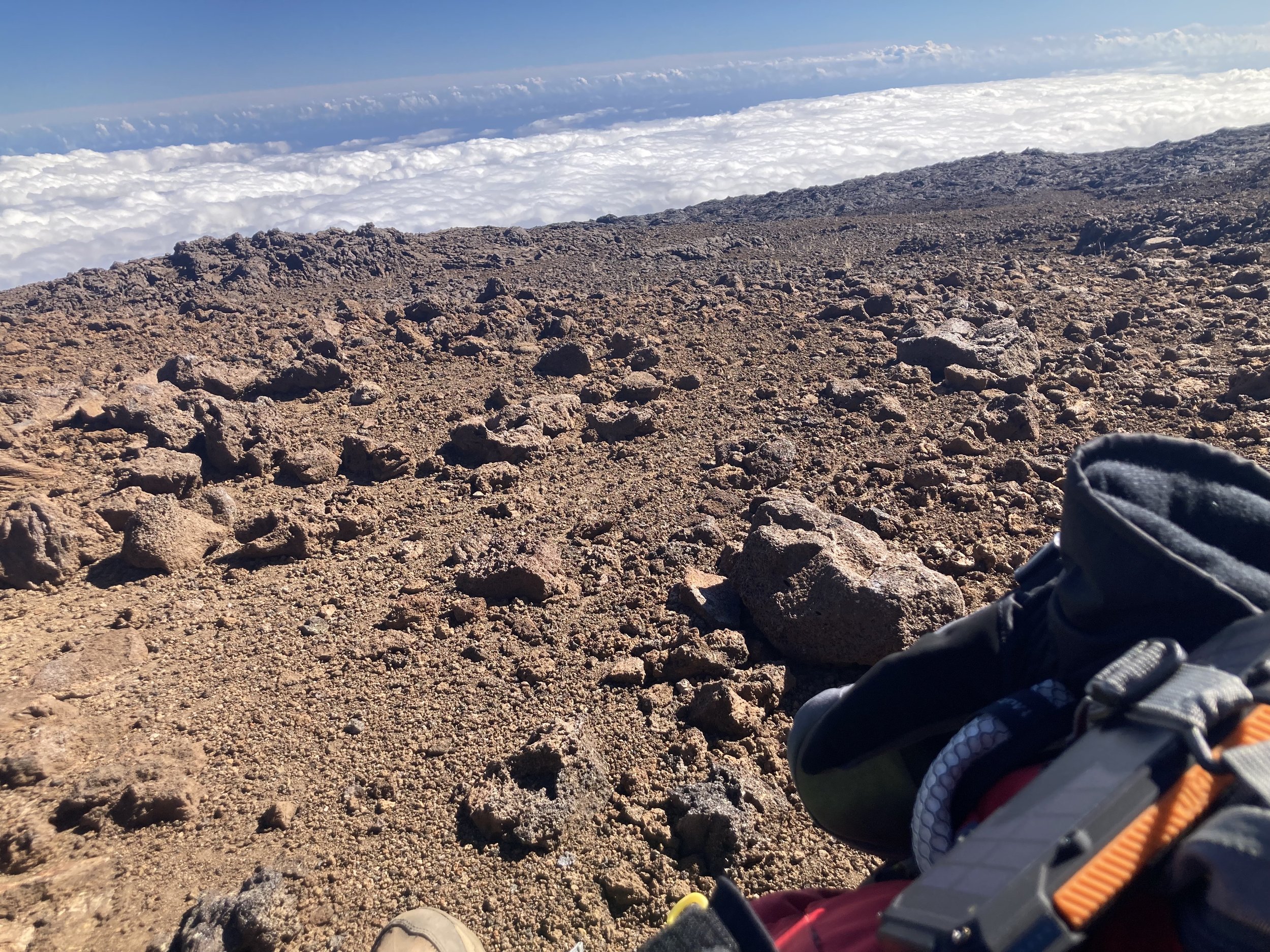
12,050 ft - more gravel type terrain
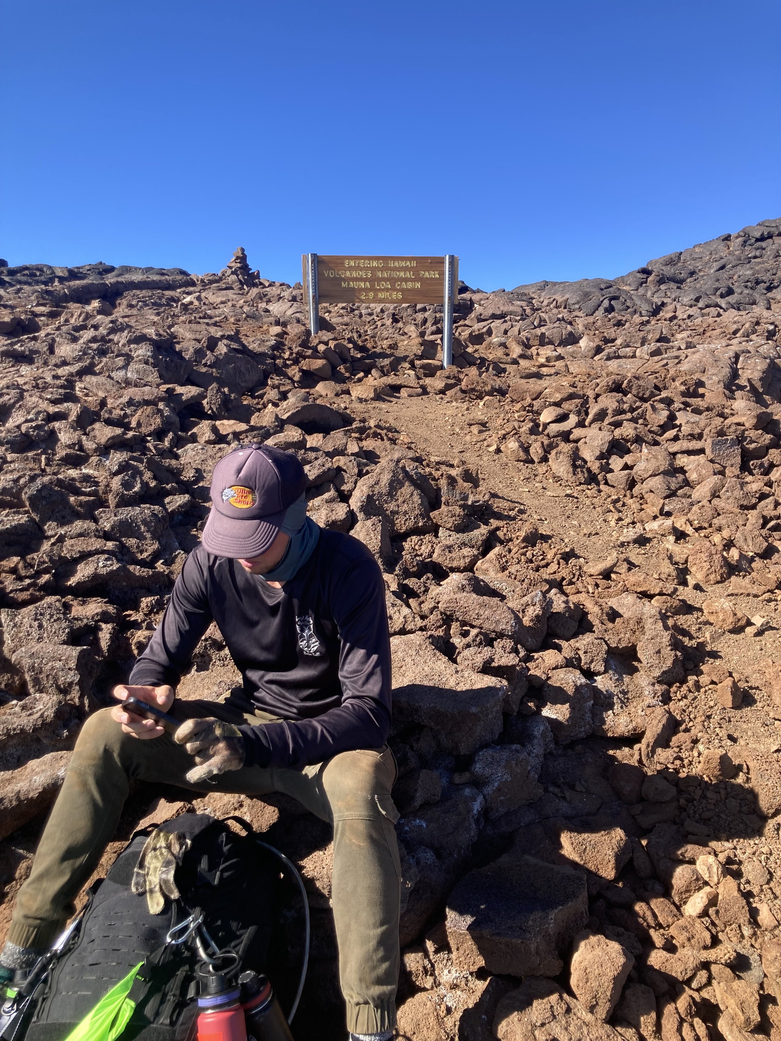
Entering National Park 12,700 ft elevation - the sign is wrong, there is still 3.5 miles left with 5-600 ft elevation remaining until the summit cabin. The other side is even more wrong, it says 4.6 or something and there is definitely 5.6 or more from this sign back to Halawai Cabin.
At the top of the second really long stretch of A’a I was definitely starting to get grumbly in my mind! Luckily the stop at the National Park sign was refreshing and 2.9 miles seemed reasonable. You’re moving so slow to keep your heart rate at a reasonable rate that the legs were not feeling too bad and my heel blisters were staying under control after double knuckle band aids and adding another pair of socks at about 10,000. After a longer stop at 12,700, we took off hopeful for more gradual terrain and a look at the crater soon! These miles were so long and every ridge line felt like it had to be the last, I finally just shut my brain and any hope that I was seeing the last ridge every one and just kind of marched. Nearing 3:30 I figured we had to be close…. but no, it was another 75 minutes and hundreds more cairns before Soyer shouted he could see the summit cabin!!!
Panaramic of Summit cabin and Moku‘āweoweo Caldera
The sight of the summit cabin was glorious and then as you got closer you could see the awe inspiring 3 mile wide Moku‘āweoweo caldera! It was breathtaking, and so was the bottom bunk that I collapsed onto in the cabin! Funny how when you keep moving you are okay, but upon stopping - everything below my waist ached so bad! I really wanted to get my shoes off, but I knew I needed to go take pictures first as it would be hard to put shoes back on after they came off! Soyer dropped his stuff and immediately went to check the caldera out. A 100-200 ft cliff straight to the caldera floor is about 50-100 ft from the door of the cabin. The hour to sunset went really fast, we filled our waters and started dinner. I drank a full 100 ounces with electrolytes on the way up the 9.1 mile 5450 ft elevation trail. We figure we burned 2000-3000 calories hiking the 9 hours in addition to normal needs.
At this point we thought we had only gone 8.1, but were not surprised that it was longer, as it felt longer! We hauled ourselves and our 40 pounds of gear each up 7550 ft! We were also feeling very very lucky to not have any signs of altitude sickness - as the thought of having to figure out how to shelter below if we needed to quickly get off the summit was very unappealing. There was a flatter spot with firewood at 11,000 or so ft that could be used as an emergency shelter location. Trying to get back to the lower cabin 9 miles in the dark on that terrain would be terrible.
But we were set!! We did it!! Now to cook dinner and settle in for the night!
Soyer at the caldera edge
Simple summit cabin with triple 12 beds, extra sleeping bags, a med kit, composting toilet, kitchen, catchment water to filter and table.
This map is all the way to the true summit 13,679 - this would take another day as it is at least 9.6 miles round trip from the summit cabin to the summit cairn.
Summit of Mauna Kea next door
Night and Sunrise on the Summit
After the sunset we heated up our cans of chili and then drank warm water and heated up dried mango slices. Food can’t taste better than after a long hike. I read some of the log book entries out loud - there were maybe 20 people who had signed in this year. I think when the other 2 trails to the summit are open there are a lot more. I added an entry and we tried to sleep.
The sleep up here was very broken up. I think I layed there for 2 hours before falling asleep. I actually got too hot as I put 2 spare sleeping bags under me and put the survival sleeping bag around the bottom half of my sleeping bag and pulled another spare bag over me. At around midnight I decided to get out of bed take some Ibuprofen as my head hurt from shoulder tension and use the outdoor pit toilet. It actually wasn’t even that cold outside - crazy for December. We read entries of snow in July. Ibuprofen did help, I think I got a few more hours of sleep between midnight and 6:20 first light. Soyer reported he slept okay the first part of the night and then was up a lot checking time frequently until sunrise. We were both eager for sunrise and to get off the summit. The rest worked as we woke up with fresh legs and ready to go! I was glad as I did a pretty brutal mental job to myself before falling asleep wondering if I could handle 6 days and 250km in Australia coming up. It was encouraging that adding an other 13 miles to the trip wasn’t so bad and I even jogged the last little bit to the truck I was so happy to see it!
Sunrise on the caldera was breathtaking!
6:30am December 8th 2024 - Sunrise on Moku‘āweoweo Caldera
Hike Down
Oh man - we flew! The first 3.5 miles to the National Park sign went by so fast - we hit almost 2 mph! It felt so good! Then, then we hit steep A’a… and the blisters started deepening, both the heels and new ones on my toes hitting the front of my boots! Just to note, I’ve put miles on these boots and not gotten blisters, the angle really made it impossible! Honestly the first mile of A’a wasn’t even so bad - the fall risk was real, but we made it. Soyer had plenty ankle near misses but never ate it. I only fell once and not even on the A’a, but some loose broken pahoehoe. We rehearsed out loud that our plan was to throw our falling selves on top of our backpacks to save our legs - but that was hard to do as I flew forward onto my hands… glad for those gloves! I slipped and slid around a few times and used gloves when it was really steep and I needed to slowly lower myself down sections. Luckily without injury we continued, knowing every section we were lucky to clear without a rolled ankle or twisted knee. I ran through in my head what it would look like if one of us actually got injured - it wasn’t pretty and involved stretchers and emergency services.
Mentally it really wasn’t that bad and the miles just kept rolling, rolling until we hit the last A’a field. I thought we had completed the last of the long stretches of A’a and now I couldn’t see the end of it. I yelled out loud that if we don’t get to the end of it soon I was going to start crying. It was the same ridge game as the top, where you thought you were almost off it. It was almost another hour on A’a and my heels were screaming at me. I may not have been crying, but my blisters were. We took one short rest and I adjusted my shoes again. We finally got to the end of it and headed into the trees. The section down to the Halawai cabin was beautiful dirt grooves, rocks shrubs and trees - its got to be one of the oldest areas on the mountain. 9.1 miles from the top we reached the cabin picnic table. I extracted my feet and put a non stick pad over my bad blister and put new band aids on my other blisters.
We ate a little and then hit the road for what we thought was 2.7 and was actually 3.25 through the forest. The clouds rolled in and it was a nice finish to a lot of miles. Trying to keep the brain occupied on something other than my blisters, we found different health and exercise topics to chat about, little race planning, spartan training and other things to talk about. Then as we kept checking the mileage and altimeter we knew we were close! I started off faster than I’d traveled at any point over the weekend and got to yell “I see the truck!!!!”
If you made it this far, thank you for reading our story!
Thank you Soyer for being an amazing training partner all these years! Starting at age 14 he started doing OCR races with me and has never turned down an opportunity to head into the back country and push his limits! He’s completed 2 Trifecta weekends (3 OCR Races totaling about 24 miles and 70-80 obstacles in 2 days). I think we are now ready to head to Australia for his final race before adulthood (he’ll be 18 the week after we return)! Will be a doozy - a team of 4 of us - a 250km bike, hike, kayak and mountaineering course with multiple check points. https://www.legendexpd.com.au/
Hopefully this will help someone who wants to hike this trail to know what they are getting into. This is a serious mountain - the only people who belong up there have trained many miles at elevation, know back country survival skills, have proper equipment and a desire to stretch their perseverance muscle!
National Park Plan your Trip up Mauna Loa: https://www.nps.gov/havo/planyourvisit/hike_maunaloa.htm
I’m hoping to put together a YouTube recap with some of the video footage and will put it here if I get that done!
Here are some videos about what was in our backpacks. We used much of what we brought. Only wish I had more knuckle band aids and a much better charging pod. We carried about 250 ounces of water starting from cabin refills and that is probably bare minimum for 2 people. We could have conserved in an emergency, but were down to probably less than 40 ounces at the summit before refilling.
Whats in my backpack: https://youtu.be/sENrSQ6zKXw
Whats in my first aid kit: https://youtu.be/cRQTDAaeITg


